
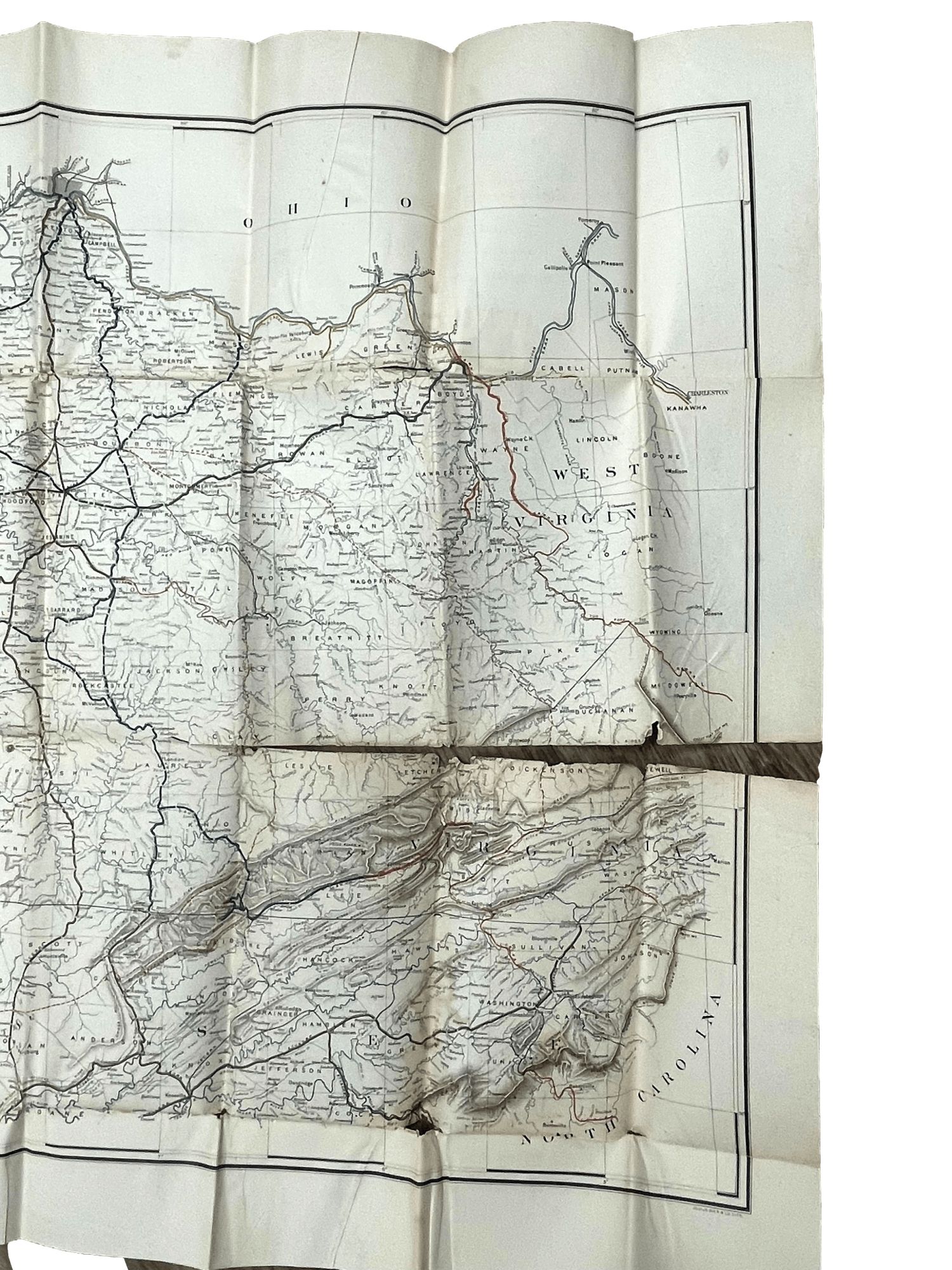
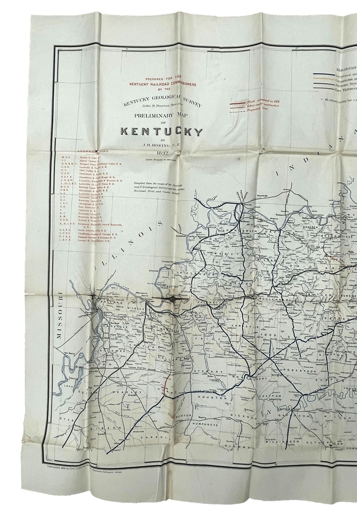
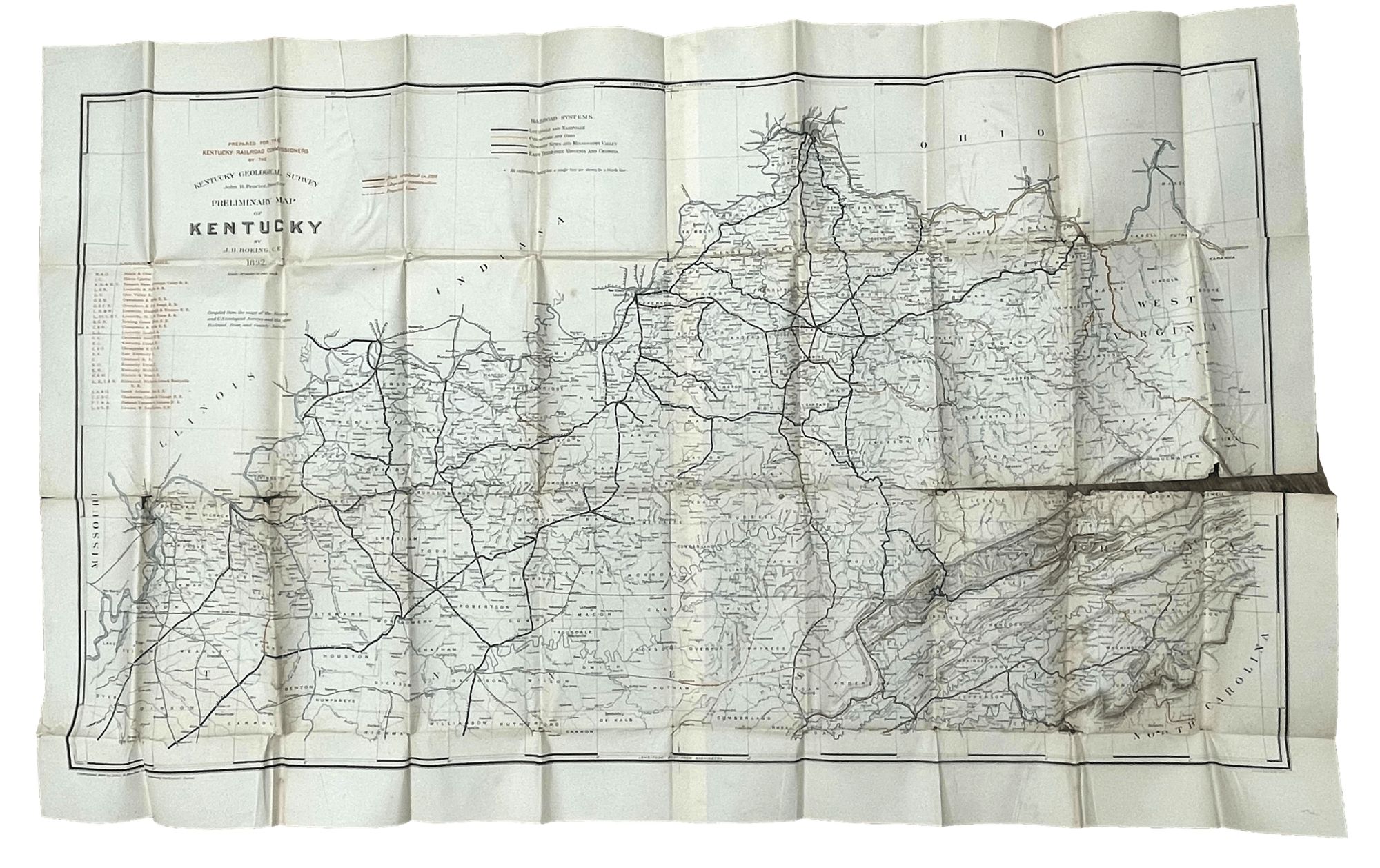
Preliminary Map of Kentucky
Kentucky: Prepared for the Kentucky Railroad Commissioners by the Kentucky Geological Survey. Folding map measuring 47.5 x 29.5", showing the state of Kentucky and its various railroads, delineated in color inks. Separations along folds, including a 16 inch separation along one fold. Item #9396
Price: $125.00
See all items in
Maps
See all items by J. B. Hoeing